Where can I build a district?
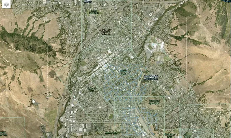
Anywhere the public data covers. Terrain and heights come from the USGS 3D Elevation Program, which covers the United States; footprints and streets come from OpenStreetMap. Parcels, addresses and official zoning are loaded per county. San Luis Obispo County is fully set up today, and we add counties on request.
How accurate is it?
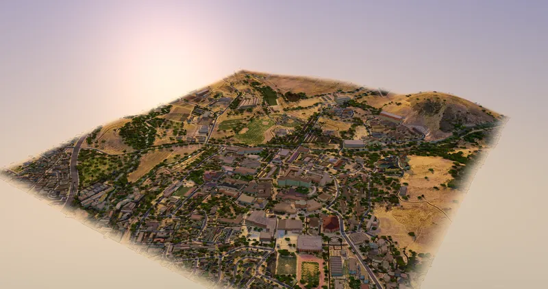
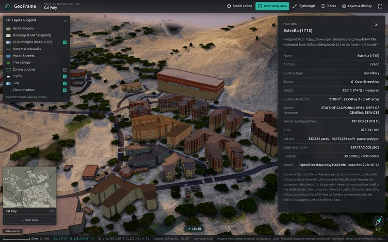
Building outlines and streets are where OpenStreetMap maps them, and terrain and building heights are measured by LiDAR. What the data can't see, such as a rear wall or a roof shape, is estimated and labeled. It is a credible planning model of a place, not a survey-grade twin.
Can I bring my own design?
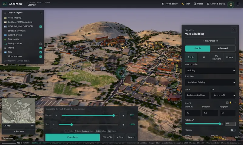
Yes. Import DXF, DWG, IFC, OBJ, STL, glTF, PLY, Collada, 3DS or FBX into the Creator, or draft a building there from scratch, then place it on the real lot.
Who can see my changes?
Only you, until you share. Edits go into a named map of your own and the district as built never changes. Share a map with your team in one switch.
Does it run on an iPad or a phone?
Yes. GeoFrame runs in desktop browsers, on iPad and on phones, with touch controls and quality that adapts to the device. There is nothing to install.
Can we run it on our own server?
Yes. The on-premises license installs GeoFrame as one Debian package with a signed, seat-based certificate. No license check leaves your network, and district builds run on your hardware.